Create an organized visual record of accessible conditions while following the evidence requirements set by the insurer or reviewing professional.
Start with the decision
Useful visual work begins with the decision the finished material should support. Define the audience, the approved scope, the operating constraints, and the exact deliverables before choosing equipment or camera moves.
Three questions for the brief
- What evidence format does the insurer or reviewer accept?
- Which accessible conditions need wide context and close detail?
- How will originals, metadata, labels, and chain of custody be retained?
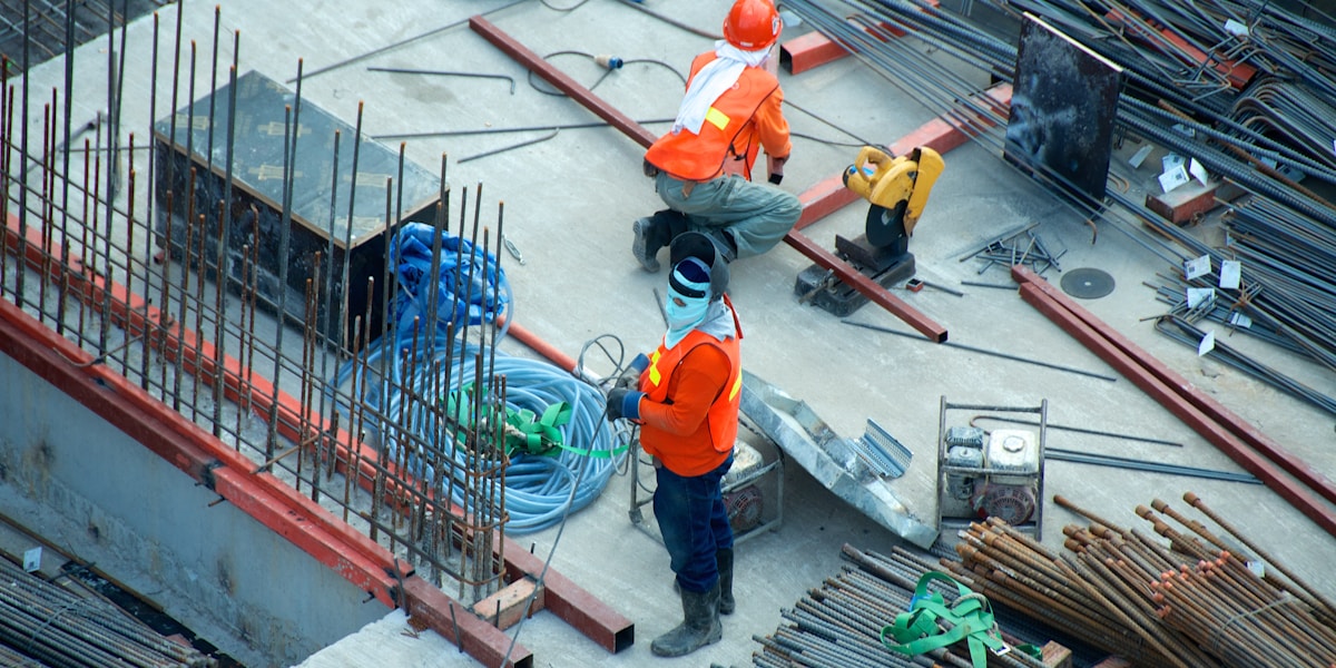
Capture with the limits in view
Specialized sites may require additional equipment, access planning, authorization, or professional interpretation. Define the requested observation and acceptable output before capture, then keep the limits of visual evidence clear in the final handoff.
Review and delivery
Name files consistently, preserve approved originals, and make the reviewer responsible for a clear accept-or-revise decision. Vistoura keeps booking details, project status, deliverables, and revision requests together in the customer dashboard. Most deliverables are completed within 24 hours, while the selected package and confirmed schedule remain the source of truth for each project.
Put the plan into motion
Vistoura coordinates visual projects through a network of more than 3,000 operators across more than 40 states. Start with the live service catalog, or request a consultation when the project needs a custom scope. The standard booking flow is designed to take about 60 seconds once the project details are ready.
Vistoura Team
Practical guidance from the Vistoura team for planning and reviewing visual production work.